About Van Buren, Missouri
About Van Buren
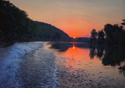
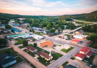
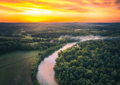
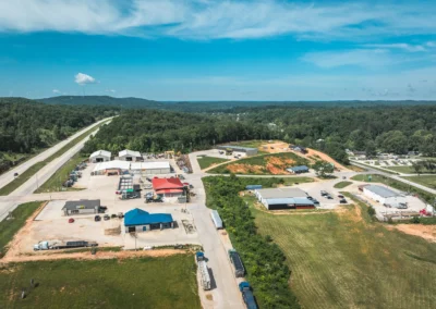
Named after Martin Van Buren, who served as the 8th President of the United States, Van Buren is a picturesque river community of fewer than 1,000 people in Carter County, Missouri. Once a thriving logging economy that was reliant on the woodlands within the Ozark Mountains, the city later saw depleted resources and the logging boom go bust. Since then, Van Buren has turned to nature conservation, with Mark Twain National Forest at its doorstep and the Ozark National Scenic Riverways forming the core of this tranquil town’s history.
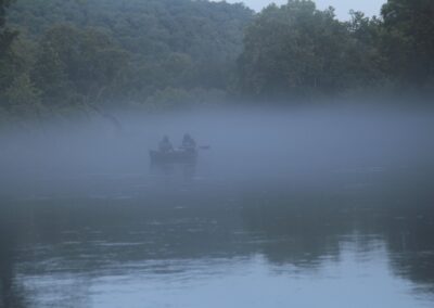
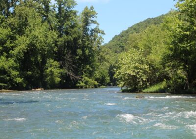
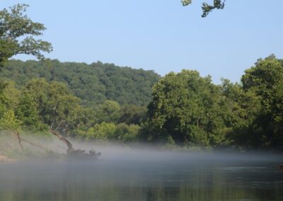
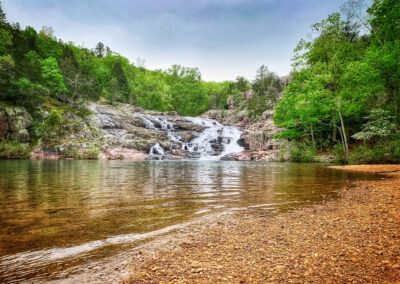
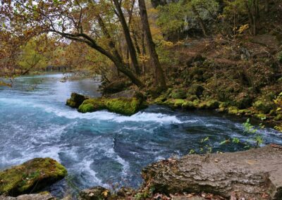
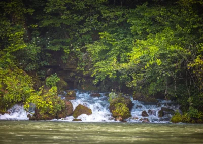
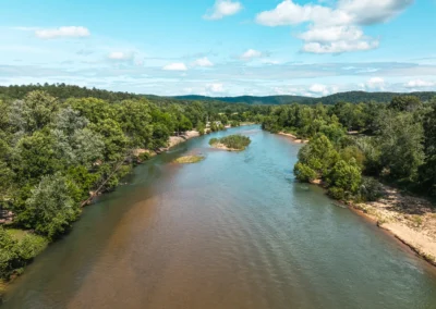
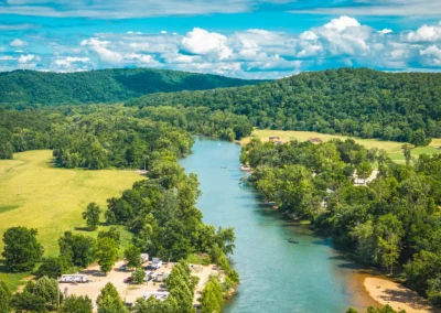
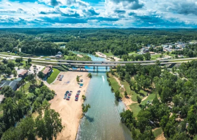
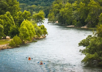
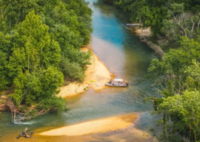
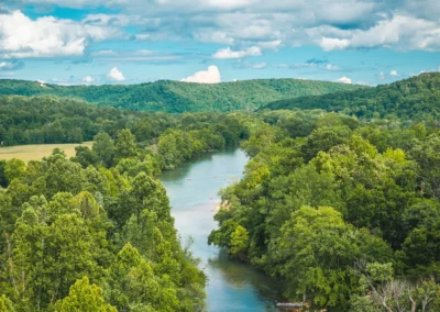
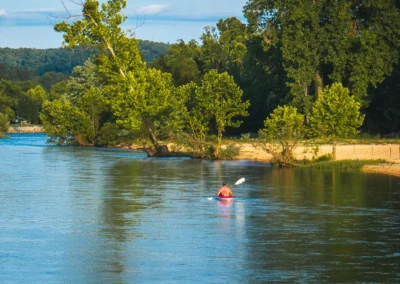
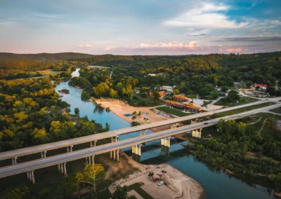
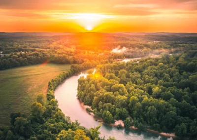
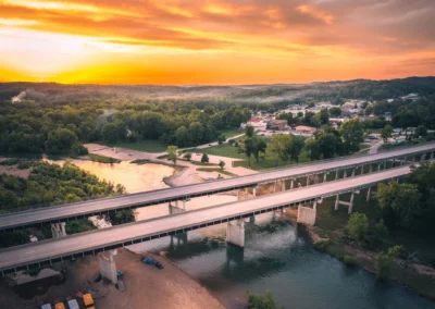
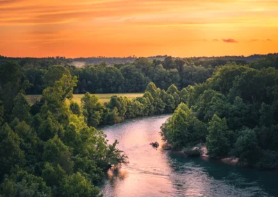
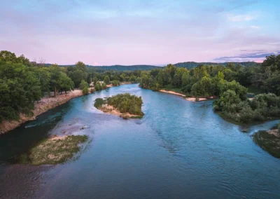
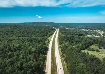
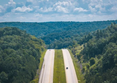
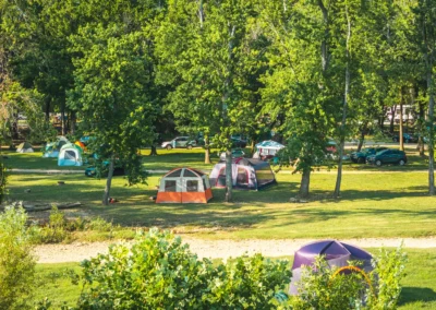
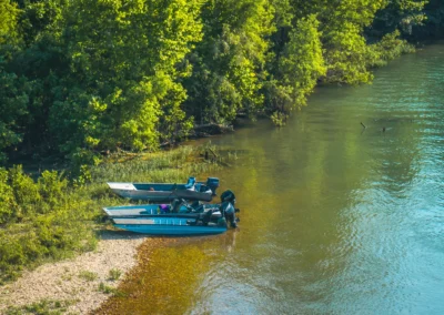
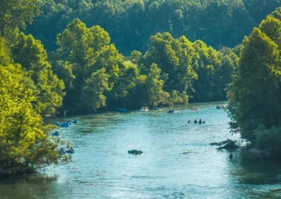
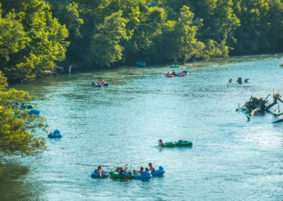
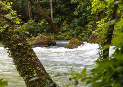
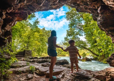
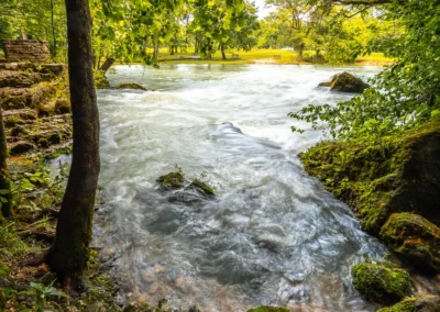
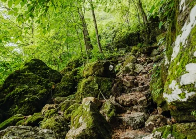
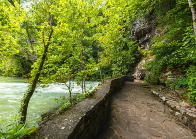
Found along the banks of the Current River and adjacent to Mark Twain National Forest, Van Buren resides in a geographical area of the Courtois Hills, a part of the Ozark Mountains of Southeast Missouri. The land comprises steep limestone ridges, natural springs, forests, and creeks making it the perfect backdrop for outdoor recreation. Big Spring is one of the area’s largest attractions.
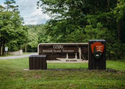
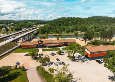
Van Buren is home to the Ozark National Scenic Riverways headquarters. The Visitor Center is located at the entrance of Big Spring Park, and is open from Monday-Friday 8 a.m. – 4:30 p.m.
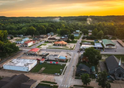
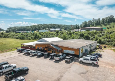
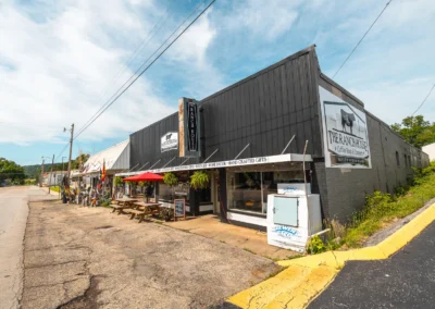
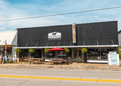
Van Buren is the largest city in Carter County and the county seat. The town has many locally owned businesses that support the town and its many visitors.
The City of Van Buren
1401 Main Street P.O. Box 40, Van Buren, MO 63965.
Our Rich History
After the Louisiana Purchase of 1803, Pocahontas Randolph started exploring the Ozarks region. He became fascinated by the beauty of the area with an abundance of wildlife and spent three years living among Native American tribes. He recorded that he found an underground river flowing from beneath a mountain near the banks of Current River, which undoubtedly was what we know as Big Spring. Many frontiersmen traveled through the rugged hills of the Missouri Ozarks before it was declared a state in 1821.
The first recorded settlers of the area in Wayne County were the Kelley family in 1808. The Carter’s followed in 1812, then the Chilton family in 1818. These first settlers started plantations and farms along different parts of the Current. In 1833, the first town site was across the river from Watercress Park. It was selected as the Ripley County seat and named in honor of Vice President Martin Van Buren. Ripley County moved the county seat to Doniphan in 1847, causing the newly formed town to decline. In 1859, Carter County was officially created, and Zimri Carter sold the city 59 acres for $475 to build the county seat of Van Buren.
The Civil War broke out soon after, suspending the construction of the new town. In 1862, the Union Army raided and burned most of old Van Buren, wiping out the town. Troops would continue to pillage local farms, taking their crops and food supplies, crippling the economy for the duration of the war. Skirmishes broke out on each side of the river, with casualties recorded for both forces and local men.
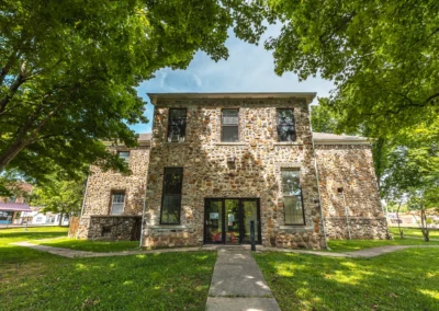
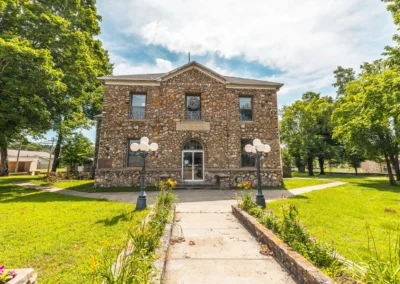
In 1867, a courthouse was constructed in new Van Buren. The 18×24 log home was not big enough and was sold and moved. A two-story pine building was built and still stands today. New stores and businesses began to grow, but transportation was a major obstacle. Merchants had to travel to larger towns to buy goods, and poor roads made that a challenge.
During the war, many Northern soldiers that had traveled through the area noticed the abundance of virgin pine timber that remained untouched. In 1867, large land tracts started being purchased for back taxes owed by southern veterans. In 1880, The Missouri Lumber and Mining Co. was formed.
A group of Pennsylvania investors created what would become the largest sawmill in the world in the town of Grandin, which was a few miles south of Van Buren. In 1888, the Current River Railroad was established, and tracks were laid from Willow Springs to Grandin, where millions of board feet of lumber were rolling out yearly.
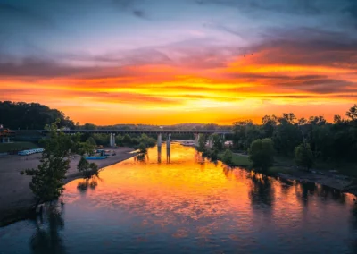
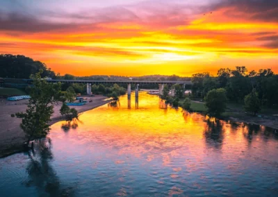
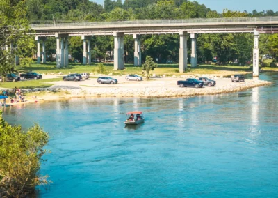
Carter County was thriving with railroad depots established in Fremont, Chicopee, Chilton, Hunter, and Grandin; however, transportation was still challenging. Money was raised, and the first bridge across the Current River at Van Buren was built.
The suspension bridge was washed away in the big flood of 1904. An effort was made to have the county seat moved to the east end at Chilton, which failed by only a few votes. Van Buren supporters then quickly started raising funds for a new steel bridge built in 1909.
That same year, the mill closed in Grandin after the pine timber was depleted. Hardwood trees such as oak, hickory, and walnut were still abundant in the area. Railroad ties were in high demand, and Current River was used to float ties downstream, where they were pulled and loaded onto trains. Crews would also raft logs down the river.
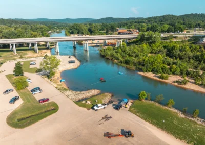
In 1915, like its predecessors, the bridge was carried away by flood waters. The state built a new steel bridge in 1926 with the construction of Route 16, which is highway 60 today. Big Spring State Park was dedicated in the same year. Local hunting and fishing clubs had become popular, with urban business people being lured by the abundance of wildlife in the area. Local men were guiding fishing trips in wooden Jon boats. With more highways built and automobiles becoming popular, the tourist industry began to take shape.
The Rose Cliff hotel and Smalley’s tourist cabins were some of the first lodging establishments. In 1933, the state started the formation of the Mark Twain National Forest in Missouri, and much-needed forest rehabilitation continued. The CCC set up camps the same year at Big Spring State Park. This “New Deal” government program provided vital jobs during the great depression and significantly improved Van Buren.
The great flood of 2017 was one of the most devastating blows to Van Buren. Rain swelled the river banks to record levels leaving most of the downtown underwater. The dangerous muddy water consumed the courthouse, many businesses, churches, and homes, creating a path of destruction. Van Buren Strong became the mantra as residents of the close-knit community rose to the occasion once again to rebuild and recover.
Get in Touch with Us
"*" indicates required fields

